JARR ResourcesBiodiversity Blueprint maps
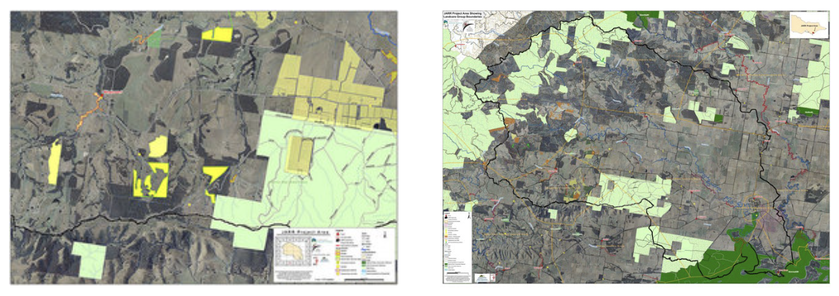
As well as a map of the whole JARR project area, a set of sixteen detailed maps were produced to allow community members a close-up view of their particular holding and the vegetation surrounding them. These maps have been the foundation for our planning since 2010. It is high time to update them but this is not an inexpensive exercise and we have no funds to embark upon that road at the moment. YYLN Revegetation Guide
This guide was developed with financial assistance through the Wellington Shire Community Assistance Grants in 2014. It is a web site intended for use by landholders in the YYLN region, however, the basic revegetation advice may be relevant wherever you live. It is not intended as a comprehensive, all you ever needed to know guide about revegetation. It is a nuts and bolts guide with an emphasis on those species of plants most relevant to revegetation in our Landcare Network according to the predominant EVCs found in each landcare group area, including those living in the JARR Project zone. Check out the site at www.yylnreveg.org Indigenous flora/fauna field guides
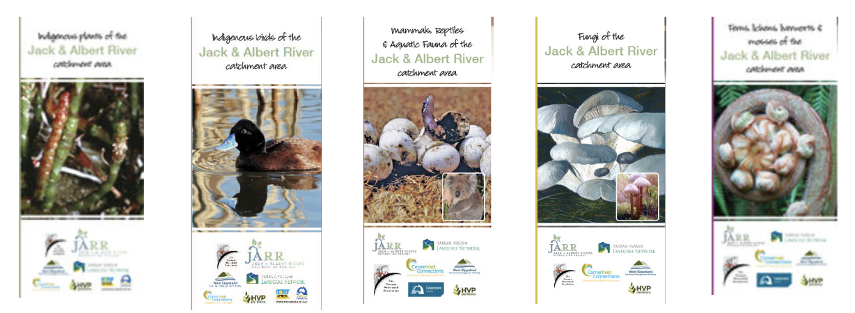
These were produced as a community resource to encourage active participation in learning about the wonderfully rich biodiversity found in the JARR region. Included in the series were birds; plants; mammals, amphibians & reptiles; fungi, lichens and mosses; and ferns. They were compiled and designed by community volunteers and printed through donations from community partners. Many of the photos were contributed by community members JARR Bird Monitoring Program
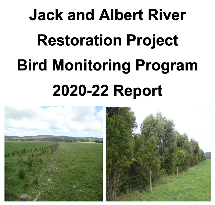
Dallas Wyatt has continued to monitor the bird life across the Jack and Albert River catchment area. Other useful things Invasive Pests and Animals guide Links to assist you in your projects Birds: www.bowerbird.org.au For all those snap happy field nat citizen scientists |
© 2023 Yarram Yarram Landcare Network


