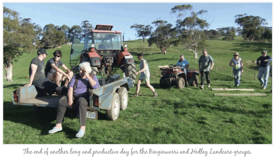
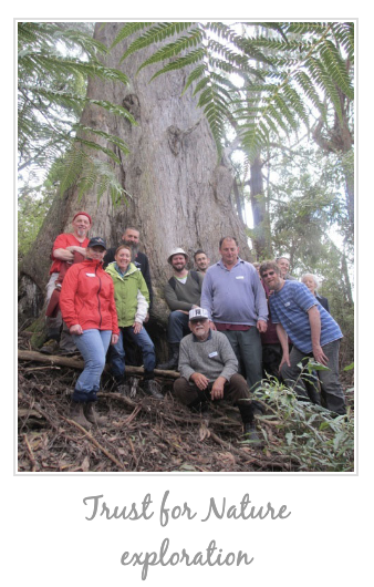
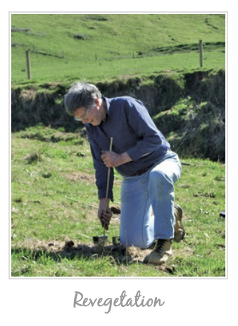
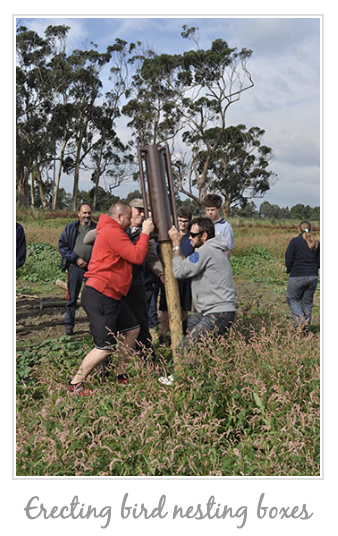
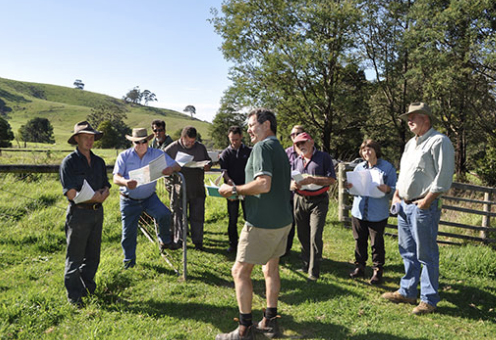
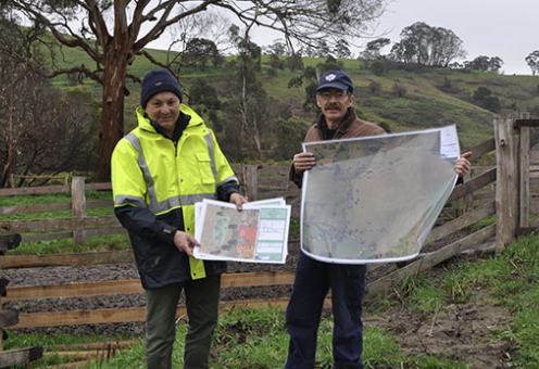
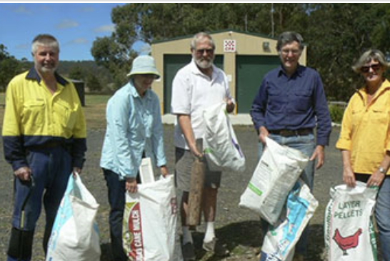
PartnersBinginwarri Landcare Group, affectionately known as “Bingi”, are the great explorers of the JARR area. Their regular trips to enjoy the bush, monitor birds, look for fungi and explore strange new galaxies are a highlight of the Landcare calendar. They have an ongoing project which identifies and catalogues plants within differing EVC areas in their district. They also actively engage in delivering farm 'Walk, Talk and Gawk' outings and field days to encourage landholders to enhance the biodiversity at their place. Both farmers and bush-block landholders work together to make Binginwarri LG a very active JARR partner.
Wonyip Landcare Group are geographically located at the source of the Albert River and its tributory sytem as well as the Agnes River systems (the next catchment over). The members of the group are a mixture of farmers, weekenders and bush block life-stylers and they all have in common a love of the Strzelecki Hills and the expansive views of Corner Inlet. They started their first projects with World Wildlife Fund support to enhance the area for the endangered Quolls (which had been reported in the area) with a vision of creating wildlife corridors to connect existing native bush through member owned farmland and HVP timber plantations. Now known as the “Quoll Corridor”, it is well established and members are continuing with the JARR Project from source to the sea. Many New Year parties will be celebrated before that project is finished. Albert River Landcare Group is made up of members from the headwaters of the Albert River in the Strzelecki Ranges rainforest through the dairy and beef country of the valley and then finally to the coastal saltmarsh. Their most recent project in the JARR area was a grant from Coastcare to fence off and plant up an area of public open space near the mouth of the Albert River. They used grasses and lilies to encourage greater appreciation of understorey species. Due to the fact that the Albert River is at the core of the group, their many works include a greater focus on riparian weed removal and revegetation. The Yarram Yarram Landcare Network (YYLN) was established in 1995 and covers a diverse area of approximately 220,000 hectares. YYLN stretches from the temperate rainforests of the Strzelecki Ranges to the Ramsar listed wetlands of Corner Inlet and Nooramunga Marine and Coastal Park, encompassing the Giffard Plain, along the Ninety Mile Beach to Seaspray. The JARR area is entirely within the boundary of YYLN. The YYLN is the umbrella organisation that supports JARR and the landcare groups that are within JARR. The YYLN is a not-for profit, incorporated association, managed by a volunteer board (made up of local people) who ensure the organisation is well governed. They provide strategic direction for the region and representation for the local groups. The JARR staff are YYLN employees and they manage the day to day running of the JARR project and delivery of multiple on-ground sustainable agricultural and environmental stewardship projects. Staff play a vital role in coordinating on ground works, developing funding submissions, providing group support, partnership development and responding to community needs. The Norman Wettenhall Foundation has been supporting the JARR project since the very beginning. It would be fair to say that without their input the JARR project would not exist. They have not only continued to support the maintenance of staff by contributing to salaries on a regular basis, but have provided invaluable assistance in goal setting, moral support and helping us get back on track when we have been overwhelmed by the number of paths in front of us. HVP Plantations is the largest land holder in the eastern Strzelecki Ranges. This land holding includes 35,000 hectares of native forest which the company manages for conservation purposes. The majority of this has been permanently protected on-title through a Section 69 Agreement with DEPI. A significant part of this estate falls within the Albert River catchment area. As such their contribution to the JARR project is significant. They are actively involved in many projects to restore degraded habitats, create biolinks, and protect threatened and significant species. To this end they donated land to help establish the Wonyip Landcare Group's quoll corridor and have recently given another 6.5 hectares to help establish a koala wildlife corridor. They have also provided valuable assistance in a range of other ways including koala habitat mapping, setting aside extra protected forest as part of Cores and Links, providing coordinated weed and pest control programs in target areas and sharing biodiversity monitoring data in the Jack and Albert catchments. Coastcare is a Victorian government program that supports community volunteers caring for their coast. Within the JARR area, Coastcare assists coastal groups adjacent to the Nooramunga and the Corner Inlet Ramsar sites to tackle problems like dune erosion, loss of native plants and animals, weed control and control of human access to sensitive areas. Coastcare is an integral partner in JARR as it can often assist with funding to get smaller projects off the ground and completed. The Coastcare program also provides opportunities for individuals to become actively involved in on-ground works and learn more about the delicate balances existing along our vulnerable southern edge through workshops and the like. The latest credit to this extremely strong partnership was the winning of a Victorian Coastal Council Award (the Natural Environment Award) by the YYLN for Protecting Coastal Saltmarsh in the JARR area. This tremendous work was done by project coordinator Samantha Monks with landholders, Coastcare and other JARR partners. Since 2009 over 700ha of Coastal Saltmarsh on private land bordering the Corner Inlet and Nooramunga Ramsar Site has been cleared of weeds and revegetated. The West Gippsland Catchment Management Authority (WGCMA) is responsible for waterway and catchment management across the West Gippsland region, which includes the JARR area. The JARR area is a high priority for the WGCMA and is identified as such in the Regional Catchment Strategy and Regional Waterway Management Strategy. Activities within the JARR catchments alter water flows and quality, affecting the health of rivers and the internationally important wetlands at Corner and Nooramunga Inlets. Environmental planning and on-ground works are undertaken in a socially responsive, environmentally sensitive manner in compliance with relevant Victorian legislation and in consultation with stakeholders. The WGCMA value the partnership with the JARR Committee because it provides a strategic opportunity to develop and deliver projects in partnership eg, Saltmarsh Protection, Erosion Control and weed control. In November 2013 the YYLN received the prestigious Lyrebird Award for Natural Resource Management with particular mention of the successes within the JARR project. Yarram Urban Landcare Group This recently established Landcare group brings together volunteers that are keen to do conservation works that live in and around the town of Yarram. They work on the urban/rural fringe of the JARR area and their projects include revitalising the Botanical Gardens in Yarram, helping to plant out the rail trail between Yarram and Alberton and supporting other Landcare groups where needed. The Group has in the past, been involved in the Yarram Seedbank, which was a resource for all revegetation projects within JARR. DELWP The Victorian Department of Environment,Land, Water and Planing (DELWP) is the major funder of projects within the JARR project. They currently contribute to projects through Communities for Nature, 2million Trees, Victorian Landcare Grants and the Victorian Local Landcare Facilitator Funding Initiative. These programs support revegetation, weed control, remnant protection and staff funding, Community environmental education and capacity building are also delivered. Wellington Shire Council The JARR region is located within the Shire of Wellington. It is Victoria’s third largest municipality, covering an area of 10,924 square kilometres and is home to 41,355 residents (2011 census). The Council employs a workforce of 250+ staff. Council works alongside us to contribute to project outcomes. This includes coordinating roadside spraying to be in areas that are being targeted for revegetation and remnant protection. They have an Environmental Grants program which supports landholders to carry out environmental works on their property. They also support and promote Landcare activities within the Council region. |
© 2023 Yarram Yarram Landcare Network

